Hiking Melbourne -Sugarloaf and Christmas Hills Circuit
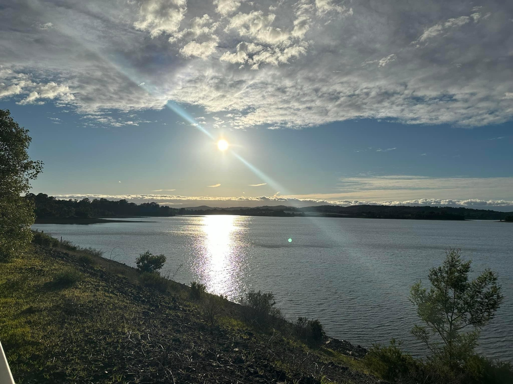
Tucked away in Melbourne’s outer northeast, Sugarloaf Reservoir is a beautiful destination for hikers, photographers and picnic goers. Surrounded by gently rolling hills and pretty water views, it’s the perfect escape from the city’s hustle and bustle.
- Trail Length: Approximately 15 km for the full circuit.
- Duration: 3.5–5 hours, depending on your pace and stops.
- Difficulty: Moderate. While most of the trail is well-formed and undulating, some sections include short, steep inclines and uneven terrain.
- Trail Type: Loop.
Trip Notes
Today I parked on the main car park is located at Ridge Road, near the Sugarloaf Sailing and Boating Club. From here I access the trailhead. Parking is free, and there are picnic areas and toilet facilities nearby.
I began by walking clockwise around the reservoir. I have hiked it both ways. This direction provides great views early in the hike. It saves some of the more shaded sections for later, making it perfect for sunny days.

As I walked around the reservoir, I took time to take some photos along the way of the reservoir. It always looks different depending on the weather and the time of the day.


I continued walking through the bushland onto open grassland and then saw a large group of kangaroos. It is easy to spot them here in several areas on the park. At other times I have seen echidna and birdlife.


Along the route, you will pass Mount Graham, Rosella Spur, and Eagle Point. Eagle Point is the highest point in the park. You will also pass Cockatoo Knoll, Plover Point, Finger Ridge, Sugarloaf Hill, and the Sugarloaf Dam Wall. The highest points offer views of the city and Yarra Valley.

Keep you hiking memories in one of our hiking journals.